CryoSat+Mountain Glaciers

CryoSat+Mountain Glaciers

Menu

  • CS+MtG
  • Project Description
    • Background
    • Aims
    • Schedule
    • Study Area
    • Consortium
    • Funding
  • Results
  • Datasets

Outreach

CryoSat reveals ice loss from glaciers in Alaska and Asia

CryoSat reveals ice loss from glaciers in Alaska and Asia

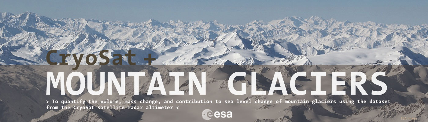
CryoSat shows that between 2010 and 2019, the Gulf of Alaska lost 76 Gt of ice per year while High Mountain Asia lost 28 Gt of ice per year. These losses are equivalent to adding 0.21 mm and 0.05 mm

admin 5 June, 2021 Outreach Read more

High Mountain Asia and Pacific Coast Range mass change

High Mountain Asia and Pacific Coast Range mass change

Cryosat swath data has been used to generate for the first time elevation change at the scale of an entire mountain glacier area in PCR and HMA from radar altimetry.    

admin 19 March, 2020 Outreach Read more

CryoSat reveals retreat of Patagonian glaciers

CryoSat reveals retreat of Patagonian glaciers

Apart from Antarctica, Patagonia is home to the biggest glaciers in the southern hemisphere, but some are retreating faster than anywhere else in the world. This is because the weather is relatively warm and these glaciers typically terminate in fjords

admin 8 September, 2018 Outreach Read more

Heterogeneous and rapid ice loss over the Patagonian Ice Fields

Heterogeneous and rapid ice loss over the Patagonian Ice Fields

CryoSat-2 swath radar altimetry is employed successfully to map elevation change over the Patagonian Ice Fields at sub-kilometer spatial resolution. Despite the challenging topography, similar to that of mountain glaciers, the technique can be used to observe changes over individual

admin 15 June, 2018 Outreach Read more

Southern Hemisphere Mass Loss

Southern Hemisphere Mass Loss

Swath Processing will allow to better estimate Rates of surface elevation change, Mass loss and contribution to Sea Level Rise in the Southern Hemisphere  

admin 13 February, 2017 Outreach, Project Updates Read more

Artic Mass Loss

Artic Mass Loss

Swath Processing has allowed to better estimate Rates of surface elevation change, Mass loss and contribution to Sea Level Rise in the Artic

admin 13 February, 2017 Outreach, Project Updates Read more

Ice Sheet Topography

Ice Sheet Topography

Improved Ice Sheet Topography from CryoSat Swath Altimetry  

admin 30 December, 2016 Outreach Read more

AGU Fall Meeting 2016

AGU Fall Meeting 2016

CS+MtG will attended 2016 AGU Fall Meeting

admin 4 October, 2016 Outreach, Symposium Read more

Swath processing was featured in a BBC article

Swath processing was featured in a BBC article

Last May 12th BBC News published the following article:  Cryosat spacecraft´s ice vision is boosted By Jonathan Amos BBC Science Correspondent  This article resume how swath altimetry processing works and explains why “European scientists have found a way to super-charge their study of

admin 13 May, 2016 Outreach Read more

Search

Archives

Categories

  • Outreach
  • Project Updates
  • Symposium
Copyright © 2022 CryoSat+Mountain Glaciers . Powered by WordPress. Theme: Spacious by ThemeGrill.