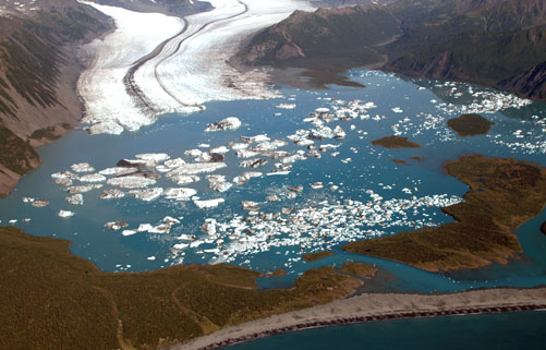
Climate warming over the 20th century has forced dramatic changes in mountain glaciers. Observations have revealed general glacier retreat, glacier thinning and gravity anomaly related to ice mass loss. These changes have led to a reduction in the mass of these glaciers and a consequent rise in global sea level. Mountain glaciers and ice caps are currently the first contributor of non steric sea level rise and affect population that rely on fresh water from glaciers or that are exposed to glaciers risk. However, there is currently no observing system that can routinely monitor the state of mountain glaciers worldwide. Earth observation satellites are currently limited by the size of the glaciers to monitor and the steep topography surrounding them.
The purpose of this project is to quantify the volume, mass change and contribution to sea level change of mountain glaciers using dataset from the CryoSat satellite radar altimeter. Here we propose to generate mountain glacier elevation and elevation change by (i) evaluating the ability of the current CryoSat products, (ii) investigating and implementing processing strategies such as FBR filtering, novel retracking, swath processing, in order to improve the current CryoSat products, (iii) validating elevations and quantifying their errors. The resulting elevation and elevation change will be used to generate estimates of glacier volume and mass change and determine mountain glacier’s contribution to sea level change during the life period of CryoSat. We will integrate our results with existing studies of glaciers change to build a spatial and temporal picture of changes affecting mountain glaciers that will be advertise via scientific presentation and submission as journals articles.